


6am OBS, Tuesday, July 1st
A gorgeous morning with mostly clear skies. Light to moderate East trades early with onshore sea breezes filling in for the leeward coast towards lunch. No marine warnings.
Big Picture updated 6/29. Above average SSW. Small ENE trade wind swell. Call 596-SURF: 7a, Noon, 4pm (recap-forecast).

North Shore:
Dropping trade wind swell wrap. Clean, smooth conditions thanks to light offshores but almost no surf and looking like a lake. Sunset flat; Rocky Pt flat; Pipe flat; Chuns flat; Laniakea 0-1/2'; Ali'i Beach Park flat. Scattered clouds.
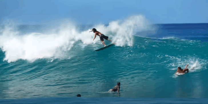
West:
Up & Holding 14 sec SSW. Surf's smooth early due to light offshores but will mush out towards lunch as sea breezes kick in. Makaha is 1-2' occ. near 3' mostly on the South. Focal reefs are up to 3'+. Partly cloudy skies.
Town:
Up & Holding 14 sec SSW. Clean conditions due to a light offshore breeze early, but possible isolated sea breezes in the afternoon. Waikiki reefs are 1-2' occ. 3'; Kaisers-Rockpiles to Ala Moana to Kewalos are 2-3' occ. +. Mostly clear skies.
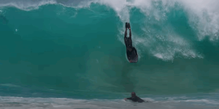
Diamond Head:
Up & Holding 14 sec SSW. A little bumpy and ruffled due under a light side-offshore wind. Surf's 2-3' occ. 4' at takeoff. Browns is up to 5'. A few clouds.
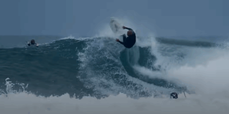
Sandy's:
Up & Holding 14 sec SSW + Dropping ENE trade wind swell wrap. Slightly bumpy and textured conditions over the exposed reefs due to a light to moderate sideshore wind. Full Pt/Half Pt are 2-3' occ. + with Generals feathering. Shorebreak is at 2-3' occ. + and slamming from Cobbles to Middle Peaks. Few clouds.
East Makapu'u:
Dropping 8 sec ENE trade wind swell. A tad bumpy and textured from the light to moderate onshore winds. Surf's 1-2' on the shorebreak and spread out through the bay. Most clear skies.
Winds
Tuesday
Range:5-15+mph East Trade
Midday sea breezes
Wednesday
Range:5-15+mph East Trade
Midday sea breezes
Thursday
Range:10-20mph East Trade
Afternoon sea breezes for the leeward coast
Friday
Range:10-25mph ENE to E
Saturday
Range:10-25mph ENE to E
North
Tuesday
07/01
 Holding 8s NE
Haw: 0-1/2
Face: 0-1
Haw: 0
Face: 0
divin , paddlin
Primary
Haw: 0-1/2
Face: 0-1
Secondary
None NONEHaw: 0
Face: 0
divin , paddlin
Wednesday
07/02
Holding 7s NE
Haw: 0-1/2
Face: 0-1
Haw: 0
Face: 0
divin , paddlin
Primary
Haw: 0-1/2
Face: 0-1
Secondary
None NONEHaw: 0
Face: 0
divin , paddlin
Thursday
07/03
Holding 7s NE
Haw: 0-1/2
Face: 0-1
Haw: 0
Face: 0
divin , paddlin, fishin, sailin
Primary
Haw: 0-1/2
Face: 0-1
Secondary
None NONEHaw: 0
Face: 0
divin , paddlin, fishin, sailin
Friday
07/04
Holding 6s NE
Haw: 0-1/2
Face: 0-1
Haw: 0
Face: 0
divin , paddlin, fishin, sailin
Primary
Haw: 0-1/2
Face: 0-1
Secondary
None NONEHaw: 0
Face: 0
divin , paddlin, fishin, sailin
Saturday
07/05
 Rising 6s NE
Haw: 0-1
Face: 0-1.5
Haw: 0
Face: 0
divin , paddlin, fishin, sailin
Primary
Haw: 0-1
Face: 0-1.5
Secondary
None NONEHaw: 0
Face: 0
divin , paddlin, fishin, sailin
West
Tuesday
07/01
Haw: 1-2+
Face: 1-3+
Holding 8s NE
Haw: 0
Face: 0
Good early , fair later
Primary
Up & holding 14s SSWHaw: 1-2+
Face: 1-3+
Secondary
Haw: 0
Face: 0
Good early , fair later
Wednesday
07/02
Holding 13s S
Haw: 0-1.5
Face: 0-2
Holding 7s NE
Haw: 0
Face: 0
Good early , fair later
Primary
Haw: 0-1.5
Face: 0-2
Secondary
Haw: 0
Face: 0
Good early , fair later
Thursday
07/03
Holding 12s S
Haw: 0-1.5
Face: 0-2
Holding 7s NE
Haw: 0
Face: 0
Fair to good
Primary
Haw: 0-1.5
Face: 0-2
Secondary
Haw: 0
Face: 0
Fair to good
Friday
07/04
 Dropping 12s S
Haw: 0-1.5
Face: 0-2
Holding 6s NE
Haw: 0
Face: 0
Fair
Primary
Haw: 0-1.5
Face: 0-2
Secondary
Haw: 0
Face: 0
Fair
Saturday
07/05
Holding 12s S
Haw: 0-1
Face: 0-1.5
Rising 6s NE
Haw: 0
Face: 0
Fair
Primary
Haw: 0-1
Face: 0-1.5
Secondary
Haw: 0
Face: 0
Fair
South
Tuesday
07/01
Haw: 2-3 occ +
Face: 3-5 occ +
Haw: 0
Face: 0
Good early , fair later
Primary
Up & holding 14s SSWHaw: 2-3 occ +
Face: 3-5 occ +
Secondary
None NONEHaw: 0
Face: 0
Good early , fair later
Wednesday
07/02
Holding 13s S
Haw: 1-2 occ 3
Face: 2-4 occ 5
Haw: 0
Face: 0
Good early , fair later
Primary
Haw: 1-2 occ 3
Face: 2-4 occ 5
Secondary
None NONEHaw: 0
Face: 0
Good early , fair later
Thursday
07/03
Holding 12s S
Haw: 1-2 occ 3
Face: 2-4 occ 5
Haw: 1-1.5
Face: 1-2
Fair to good
Primary
Haw: 1-2 occ 3
Face: 2-4 occ 5
Secondary
Rising Slow 16s SWHaw: 1-1.5
Face: 1-2
Fair to good
Friday
07/04
Dropping 12s S
Haw: 1-2 occ +
Face: 1-3 occ +
Haw: 1 occ 2
Face: 1-2 occ 3
Fair
Primary
Haw: 1-2 occ +
Face: 1-3 occ +
Secondary
Up & holding 15s SWHaw: 1 occ 2
Face: 1-2 occ 3
Fair
Saturday
07/05
Holding 12s S
Haw: 1 occ 2
Face: 1-2 occ 3
Holding 14s SW
Haw: 1-1.5
Face: 1-2
Fair
Primary
Haw: 1 occ 2
Face: 1-2 occ 3
Secondary
Haw: 1-1.5
Face: 1-2
Fair
east
Tuesday
07/01
Dropping 8s ENE
Haw: 1-2
Face: 1-3
Haw: 0
Face: 0
slightly bumpy
Primary
Haw: 1-2
Face: 1-3
Secondary
None NONEHaw: 0
Face: 0
slightly bumpy
Wednesday
07/02
Holding 7s ENE
Haw: 1 occ 2
Face: 1-2 occ 3
Haw: 0
Face: 0
slightly bumpy
Primary
Haw: 1 occ 2
Face: 1-2 occ 3
Secondary
None NONEHaw: 0
Face: 0
slightly bumpy
Thursday
07/03
Holding 7s ENE
Haw: 1 occ 2
Face: 1-2 occ 3
Haw: 0
Face: 0
slightly bumpy
Primary
Haw: 1 occ 2
Face: 1-2 occ 3
Secondary
None NONEHaw: 0
Face: 0
slightly bumpy
Friday
07/04
Rising 6s ENE
Haw: 1-2
Face: 1-3
Haw: 0
Face: 0
Choppy
Primary
Haw: 1-2
Face: 1-3
Secondary
None NONEHaw: 0
Face: 0
Choppy
Saturday
07/05
Haw: 1-2+
Face: 1-3+
Haw: 0
Face: 0
Choppy
Primary
Up & Rising 6s ENEHaw: 1-2+
Face: 1-3+
Secondary
None NONEHaw: 0
Face: 0
Choppy

Current Swells:
Tuesday 07/01Primary: Up & holding 14s SSW surf @2-3 occ +
Secondary: Dropping 8s ENE surf @1-2

Marine Warnings:
Tuesday 07/01No marine warnings.

Sailing Report:
Tuesday 07/01Fair due to light-moderate East trades of 5-15+mph. Afternoon leeward sea breezes this afternoon.

Diving Report:
Tuesday 07/01North Shore: Good (best: deeper dives) due to tiny surf under light to moderate side-offshore trades but isolated sea breezes after lunch. South: Poor due to solid surf with light to moderate East trades, then midday sea breeze mix in. West: Fair to poor due to small to moderate surf (best: deeper dives) and lite offshore trades + sea breezes by lunch. East: Fair for most zones (select protected areas still fair-good) due to small surf and light to moderate onshore trades.
Oahu
Maui
Kauai
Big Island
Weather
Surf Advisory and Warning CriteriaLocation/shoreline Advisory Warning
North-Facing Shores- 15 Feet faces (8' Local) 25 Feet faces (15' local)
West-Facing Shores - 12 Feet (7' local) 20 Feet (12' local)
West-Facing- Big Is.- 8 Feet (4'+ local) 12 Feet (7' local)
South-Facing Shores- 8 Feet (4'+ local) 15 Feet (8' local)
East-Facing Shores- 8 Feet (4'+ local) 15 Feet (8' local)
Big Picture
INACTIVE.Get the latest on the tropics at www.hurricanes.gov
The Central Pacific Hurricane Center outlook for the 2017 Central Pacific Hurricane Season calls for 5 to 8 tropical cyclones to either develop or cross into the Central Pacific with a 40% chance for an above-normal season, a 40% chance for a normal season, and a 20% chance for a below-normal season. An average season has 4 to 5 tropical cyclones, which include tropical depressions, tropical storms, and hurricanes.
A tropical depression forms when a low-pressure area is accompanied by thunderstorms that produce a circular wind flow with maximum sustained winds below 39 mph. An upgrade to a tropical storm occurs when cyclonic circulation becomes more organized and maximum sustained winds gust between 39 mph and 73 mph. A tropical storm is then upgraded into Category 1 hurricane status as maximum sustained winds increase to between 74 mph and 95 mph. (The highest classification in the scale, Category 5, is reserved for storms with winds exceeding 156 mph).
Tropical cyclones go by many names around the world, and the terminology can get confusing. Once a tropical cyclone strengthens to the point where it has gale-force winds—39 mph or greater—it becomes a tropical storm. A storm that reaches tropical storm strength usually gets its own name to help us quickly identify it in forecasts and warnings. Once a tropical storm begins producing sustained winds of around 75 mph, we call the storm a typhoon in the western Pacific near Asia and a hurricane in the oceans on either side of North America. A “typhoon” and a “hurricane” are the same kind of storm, they just go by different names…it’s only a matter of geography.
NWS criteria for High Surf Advisories & Warnings.
In coordination with civil defense agencies & water safety organizations in Hawai`i, the NWS uses the criteria below for the issuance of High Surf Advisories & Warnings in coordination with civil defense agencies & water safety organizations in Hawai`i.
All surf height observations & forecasts are for the full face surf height, from the trough to the crest of the wave.
Advisory and Warning Criteria Location
Warning North-Facing Shores 15 Feet 25 Feet
West-Facing Shores - Remaining Islands 12 Feet 20 Feet
West-Facing Shores - Big Island 8 Feet 12 Feet
South-Facing Shores 8 Feet 15 Feet
East-Facing Shores 8 Feet 15 Feet
'Travel Time' Buoy 51101 to Waimea Buoy. Distance: 269 nautical miles (~310 miles). Angle: 307 deg
Wave Wave Wave Depth Wave Direction (deg)----------
Period Length Speed Shallow 295, 305, 315, 325, 335, 345, 355
(s) (ft) (nm/h) (ft) Travel Time (hours)----------
10sec. 512. 15. 256. 17.3, 17.7, 17.6, 16.9, 15.7, 14.0, 11.9
12sec. 737. 18. 369. 14.5, 14.8, 14.6, 14.0, 13.0, 11.6, 9.9
14sec. 1003. 21. 502. 12.4, 12.7, 12.5, 12.0, 11.2, 10.0, 8.5
16sec. 1310. 24. 655. 10.8, ,1 1.1, 11.0, 10.5, 9.8, 8.7, 7.4
18sec. 1658. 27. 829. 9.6, 9.8, 9.8, 9.4, 8.7, 7.8, 6.6
20sec. 2047. 30. 1024. 8.7 8.9 8.8 8.4 7.8 7.0 5.9
22sec. 2477. 33. 1239. 7.9 8.1 8.0 7.7 7.1 6.3 5.4
24sec. 2948. 36. 1474. 7.2 7.4 7.3 7.0 6.5 5.8 4.9
Tropical Storms - wind 39-73 mph (34-63 kt)
Category 1 - winds 74-95 mph (64-82 kt)
Category 2 -winds 96-110 mph (83-95 kt)
Category 3 -winds 111-130 mph (96-113 kt)
Category 4 - winds 131-155 mph (114-135 kt)
Category 5 -winds 156 mph and up (135+ kt)
Please visit the Central Pacific Hurricane Center website at www.weather.gov/cphc for the most recent bulletins.
ENSO is a single climate phenomenon, it has three states or phases. The two opposite phases, “El Niño” and “La Niña,” require certain changes in both the ocean and the atmosphere because ENSO is a coupled climate phenomenon. “Neutral” is in the middle of the continuum. The MJO (Madden-Julian Oscillation) is an eastward moving disturbance of clouds, rainfall, winds, and pressure that traverses the planet in the tropics and returns to its initial starting point in 30 to 60 days, on average, unlike ENSO which is stationary. In a nutshell, more active means more surf.
Kelvin wave (A Kelvin wave is a wave in the ocean or atmosphere that balances the Earth's Coriolis force against a topographic boundary such as a coastline, or a waveguide such as the equator. A feature of a Kelvin wave is that it is non-dispersive, i.e., the phase speed of the wave crests is equal to the group speed of the wave energy for all frequencies. This means that it retains its shape as it moves in the alongshore direction over time.)


Premium snn Membership
Join the Premium SNN Membership and enjoy 10 Day Forecasts, All Webcams Page, 5 Days Webcams Archives, Help Surfrider & Access Surf with your partnership.
All for just $8/month Sign Up Now! 1st Month is FREE
5,460
likes
550
followers
98
subscribers
449
followers